Drone Mapping, Survey, and Inspection Course
This course introduces the fundamentals of drone mapping and surveying, including the types of drones, sensors, software, and applications used in this field. You will learn how to plan, execute, and process drone surveys for various purposes, such as land management, environmental monitoring, construction, and archaeology. You will also gain hands-on experience with drone flight simulation and data analysis tools. By the end of this course, you will be able to design and conduct your own drone mapping and surveying projects.
Course Highlights
- Introduction to Drone Mapping, Survey, and Inspection
- Fundamentals of Aerial Photography and Photogrammetry
- Drone Technology for Mapping, Survey, and Inspection
- Flight Planning and Execution
- Data Acquisition and Processing
- Surveying Techniques
- Inspection and Monitoring
- GIS and Data Analysis
- Legal and Ethical Considerations
- Industry Specific Applications
- Practical Training and Field Exercises
- Project work or case studies
Eligibility Criteria
Anyone above 18 years and wishes to make a career in this field can enroll for the course.
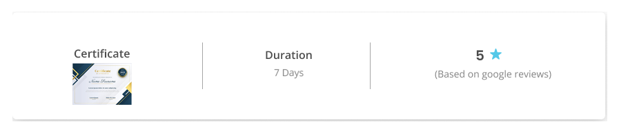
Duration
7 days
Learning Outcomes
- Understand the principles and applications of drone mapping
- Operate different types of drones and sensors for mapping purposes
- Plan and execute a drone mapping project from start to finish
- Process and analyze the drone imagery and data using various software tools
- Create and share high-quality maps and 3D models from drone data
- Apply drone mapping skills to various domains such as agriculture, construction, environmental
monitoring, etc. - Give a boost to your career in GIS industry
- Become a Drone Entrepreneur
Call us on 9205055441 or mail your enquiries rpto@neosky.co.in
Frequently asked questions
A Remote Pilot Certificate is equivalent to a driver's license for a car. To fly any of the Drones
commercially it is necessary to have an RPC. It will be term illegal if you fly a drone without a Remote
Pilot Certificate.
Our Remote Pilot Training Organization is in Bengaluru. We are in plans to expand PAN India soon.
Currently, we offer industry specific market ready courses as below:
a. DGCA Approved Drone Pilot Training
b. Drone Technician Course
c. Drones in Agriculture Course
d. Mapping, Survey, and Inspection Course
e. Drones-based workshop for school students
We can also customize the courses in accordance with your needs.
Our courses range from 5-7 days.
In general, one needs to be 18 years and above to attend the DGCA certification. For other courses, we
can accommodate on a case-to-case basis.
Yes, NeoSky is approved by DGCA.
Yes, we do offer 100% placements assistance and we mean it. Infact, any of the candidates who have
come to do the training and is looking for a job did get a job.
The average salary for a Drone Pilot is 25000 – 30000 with a quick increase with the number of years of
experience
Our training starts every week Monday – Friday for all the courses. Contact us immediately for expert
advice and booking your slot.
You can call us on +919205055441 or simply mail us on rpto@neosky.co.in and we ought not to
disappoint you.
Drone Mapping, Survey, and Inspection Course
Explore our Defence drones to https://throttle.aero/verticals/
[contact-form-7 id="339" title="Single Products - Partner"]Come partner with us. Write to us at contact@neosky.co.in